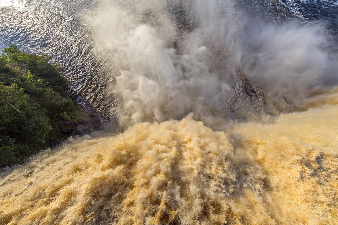
North Kurile Islands, Russia
When it comes to the Kuril Islands, people usually tend to imply the disputed southernmost islands of Shikotan, Kunashir and Iturup, which became wide known due to the dispute between Japan and Russia. But the Kuril Islands are the huge archipelago stretching approximately 1,200 kilometres, and there are some rather interesting, but less well-known islands that were the destination of the AirPano team in the summer 2015.
We travelled there as a part of the tour organised by Kosatka Cruises — the company, established by several kayak and sailing enthusiasts from Kamchatka. Honestly, I had doubts whether we would be able to keep all our equipment on the board of the catamaran. We bore in mind our voyage to Antarctica, when even being on a huge cruise liner we were quite restricted in space. But as soon as we entered our stern cabin we were happy to realise that all our equipment perfectly could go into kit lockers and niches, and moreover, our captain agreed to provide some space for our drone under the table in the chief cabin.

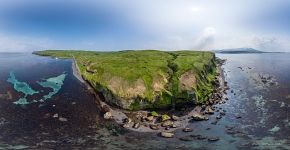
Despite the serious storm near the cape of Lopatka (the Russian version of Cape Horn) we managed to safely get Shumshu Island, which once had been the ‘edge of the Japan Empire'. We sailed around and disembarked on the southern shore of the island. The first thing to do was to visit the remained Japanese machine gun bunkers and an abandoned, but still in good condition, airfield. It is said that not so long ago there were the remnants of the old airplanes stretching along the take-off runway, but one of the local officials decided to destroy them with a bulldozer.

In order to replenish the water supplies and observe boundary formalities, we left Shumshu and headed for the port of Severo-Kurilsk through the narrow strait. The point is that the Kurile Islands are the territory with the limited access and one has to register at the Border Service. In the evening there were some very unusual thermal treatments in the open air waiting for us — local entrepreneurs equipped some mountain thermal springs for bathing, not so far from the city.
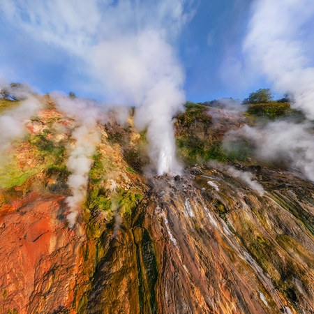
‘Equipped' — well, that's rather overstated. The whole construction looked like some hissing and throwing water in all directions mechanism from a post apocalyptic movie. Nearby there were two plastic boxes with a man-height length that were suggested for us to get into. But in spite of the simplicity of the setting, the atmosphere and the view of the town below us were worth it.

The next day we were heading for Ebeko volcano located on Paramushir Island. Unfortunately, our attempt to photograph the volcano was a failure. For a long time together with Dmitry we were carrying all our equipment, but as soon as we reached the first pass we realised that we would not be able to photograph anything because of the strong wind and rapidly overcasting clouds. That was not our lucky day. We turned around and headed backwards, our way down was a challenge, thanks God no one got lost. After this failure I was about to lose any hope of the success of our photo-expedition.

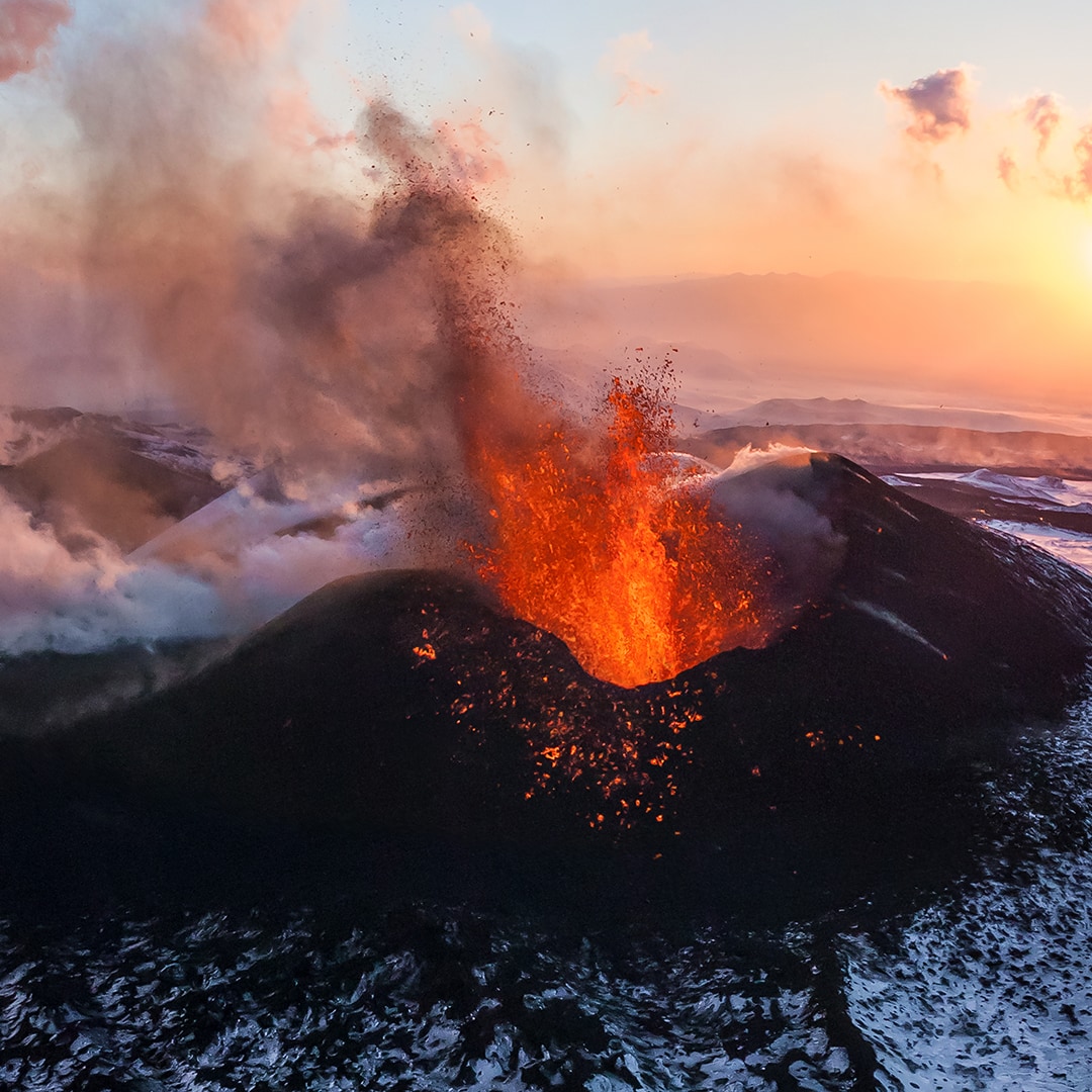
Our next destination was Krenitsyn volcano located on Onekotan Island. The cone of the volcano rises above the lake situated right in the caldera of the bigger volcano. It is a rather hardly accessible place — one has to follow an old cross-country road for about 15 kilometres with a vertical drop up to 750 meters.
But tricky Kurilian weather again spoiled our plans. The first several kilometres were quite easy despite a steep 100-meter ascent, but a bit later the sky got overcasted and a drizzling rain began. Soon the rain grew stronger and the clouds covered the plateau and the road we were on. But even that was not all: by the time we had wetted through, a strong wind rose from the side of the sea of Okhotsk. It took us all day to cover the distance of 15 kilometres on foot. I can hardly remember the last kilometres of our way: the drone lying on my shoulders weighed heavily on my neck, a remote control console hanging on the belt was bouncing on my belly... In addition, my feet grew sore so I struggled to walk at a normal pace.

The fact of total uselessness of our expedition was absolutely dispiriting: in such weather we could not even take out our camera out of the rucksack, let alone the drone flights. That day we did not reach the caldera. We encamped right inside a rainy cloud and tried to warm up by the campfire. At this moment I realised that it was the first time when our team was so close to the total failure of the expedition. In case a miracle does not happen the following morning, we will have to walk this awful 15 kilometres with the realisation that all was in vain.
The following morning a miracle did not happen. We got out of our tents to find ourselves surrounded by the familiar rainy clouds. Again this disgusting feeling of putting on wet and cold clothes... With a faint hope we went through the mist in the direction of caldera and in an hour we found it. The waters of the lake were hardly visible somewhere underneath, the volcano itself was partly covered with clouds. We had only one day for waiting, then we had to go back. The guys from Kosatka Cruises tried to comfort us with the fact that the previous group could not see even the waters of the lake due to the bad weather.

However, in about two hours the clouds began to dispel and the sky was clearing up so that we were able to see the volcano. Finally, that was a miracle we were waiting for! With no hesitation I took our drone and launched it at once. We could behold a magnificent landscape: practically all the island was covered with clouds and only the sky above the caldera was clear. We had only three sets of batteries, so having taken some photographs of the volcano we put it aside and started waiting for more surprises by the local weather.
The heavens were good for us: practically all the day we spent bathing in the sun. The members of the camera crew together with me, were brave enough to swim in the nearby lake close to the caldera. So we decided to call it ‘Cameramen Lake'.
By the evening the weather had changed again — the clouds moved from the plateau inside the caldera. In the rays of the setting sun it looked absolutely stunning. Surely, we could not miss such an opportunity, so we launched the drone again. Till the dusk we enjoyed photographing this magnificent scene.

Comparing to the condition of our way up, the weather on our way back was even worse: we had to walk these 15 kilometres in a stronger wind and rain. But in addition to walking down instead of upwards, we were also inspired by the success in viewing and photographing the Volcano of Krenitsyn we were longing for, that's why the way back was easier and faster.
This shooting was the most impressive experience I had gained during the North Kuril Islands expedition, as well as being the brightest illustration to the famous travellers' motto: ‘То strive, to seek, to find, and not to yield'.
This virtual tour was made with the financial support the Russian Geographical Society.
The AirPano team expresses a special gratitude to the crew of the twin-hulled ship Kosatka Cruises. The staff was excellently chosen. Thanks to Kate (Katerina Okrugina), we were always satisfied with the quality and amount of our meals. We weren’t afraid of losing track or being turned over in a storm due to the fine work of Mstislav(Mstislav Sokolovskiy) and Pasha (Pavel Vereshaka). During our ground activities Sasha (Alexander Kuzmin) kept everyone going, while Mikhail (Mikhail Gorbenko) supported the “weak” not only by increasing morale, but carrying our hefty batteries as well.
Photo and text by Stas Sedov, Dmitry Moiseenko
29 October 2015
Read more
Photogallery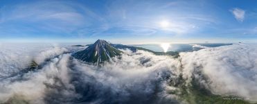 Onekotan Island, Volcano Krenitsina #3
 Shumshu Island #2
 Kekurny Cape #6
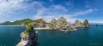 Kekurny Cape #5
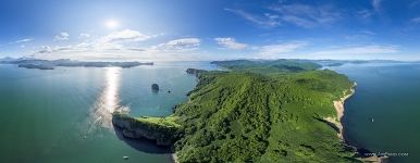 Tikhaya Bay #1
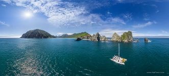 Kekurny Cape #3
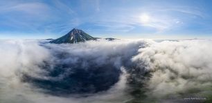 Onekotan Island, Volcano Krenitsina #2
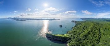 Tikhaya Bay #2
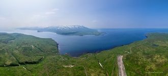 Shumshu Island #1
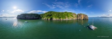 At the Tikhaya (Quiet) Bay #1
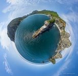 Kekurny Cape #8
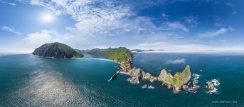 Kekurny Cape #1


